Goodrich Rock Trail
Goodrich Rock Trail winds through a conifer forest to a field of large glacial erratic boulders. The trail ends by climbing a 20-foot ladder to the top of the largest glacial erratics in New England - Goodrich Rock. From Goodrich rock you can take in sweeping views of the Sandwich Mountain Range and the ski trails of Mount Tecumseh!
Distance: 4 miles
Elevation Gain: 740 feet
Time: 1:45 to 2:45 hrs
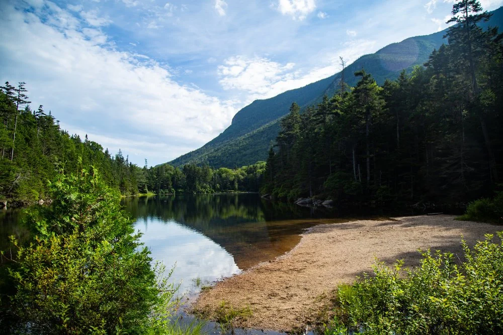
Greeley Ponds
This is a moderate out and back trail that follows the Mad River Notch and leads to Greeley Ponds, a natural alpine pond and the headwaters of the Mad River. Greeley Ponds is known by locals as one Waterville’s best fishing spots!
Distance: 7.4 miles (round trip)
Elevation Gain: 670 feet
Time: 4-5 hours
Mount Osceola
This is a heavily used moderate out and back hike with steady ascending. It has outstanding views at the summit of Mt. Osceola [4340 ft.] You can also carry on and traverse the ridge to East Peak [4156 ft.].
Distance: 6.1 miles
Elevation Gain: 2,070 Feet
Time: 3-4 hours
Welch-Dickey Loop
This is a moderate hike that leads to the rocky summits of Welch and Dickey Mountains, offering stunning white mountain views in every direction.
Distance: 4 Miles (Loop)
Elevation Gain: 1,751 Feet
Time: 2-4 Hours
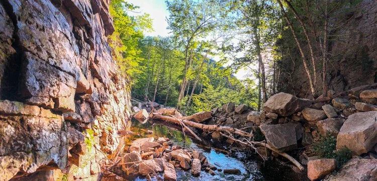
Waterville Flume
Known to locals as one of the most underrated natural features in the White Mountains, the Waterville Flume is a gorge with 60+ foot walls cut into the mountains by Flume Brook.
Distance: 5.4 Miles (round trip)
Elevation Gain: 1,190 feet
Time: 2-4 Hours


